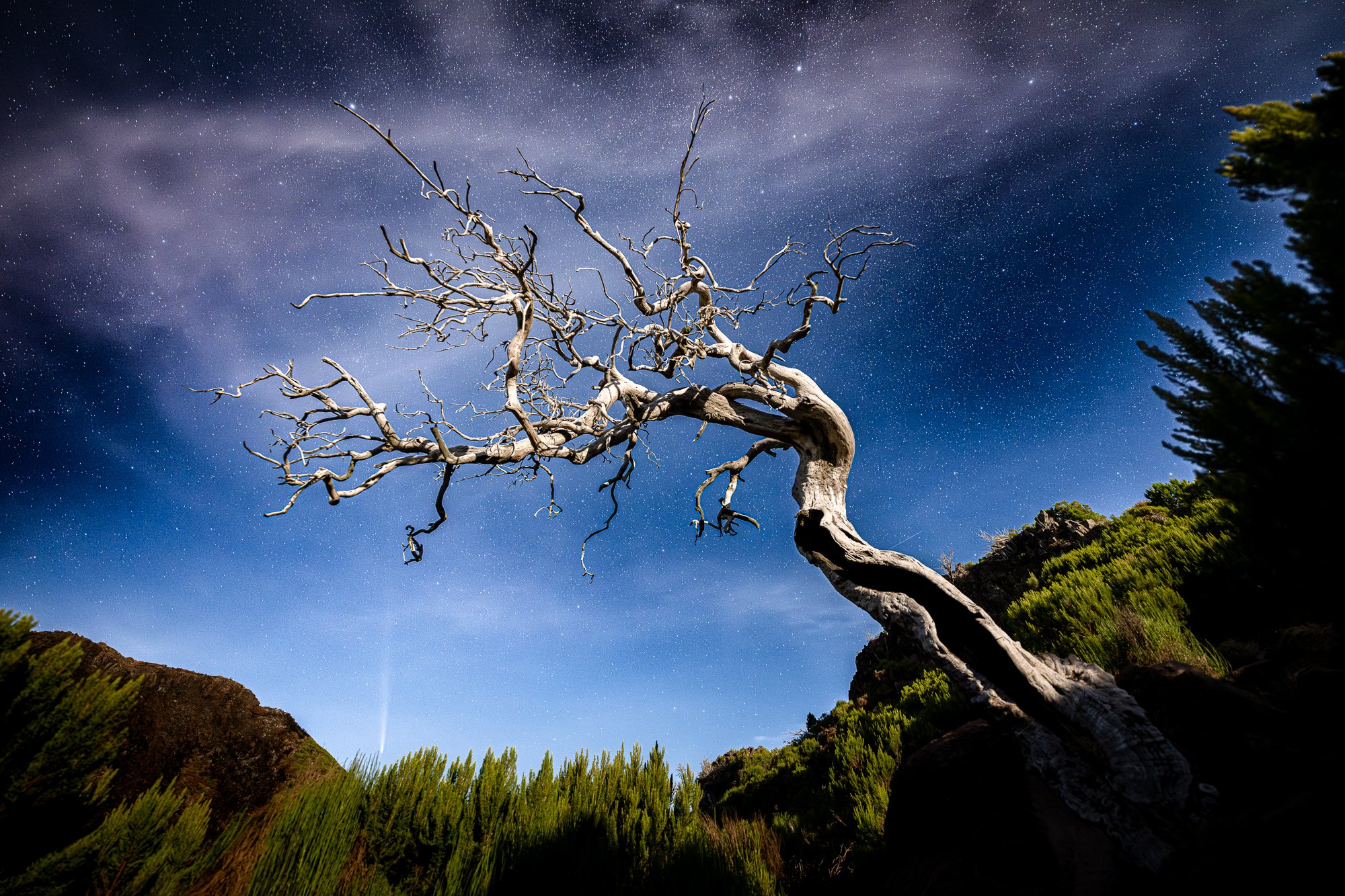
 Image 1 of 11

 Image 2 of 11

 Image 3 of 11

 Image 4 of 11

 Image 5 of 11

 Image 6 of 11

 Image 7 of 11

 Image 8 of 11

 Image 9 of 11

 Image 10 of 11

 Image 11 of 11


Madeira Best Photo Spots Guide
Madeira Best Photo Spots Guide is an interactive map showcasing the island’s most stunning photography and drone locations.
Discover the magical Fanal Forest, with pinpointed spots for its most captivating trees.
📌 Note: This guide is focused on photography. If you're looking for levadas and hiking trails, this may not be the right fit.
Madeira Best Photo Spots Guide
The Madeira Best Photo Spots Guide is an interactive map featuring the island’s most breathtaking photography and drone locations.
📍 What’s Inside?
Top photo locations across Madeira, from dramatic coastlines to lush forests.
Fanal Forest highlights, with pinpointed spots for its most captivating trees.
Handpicked restaurant recommendations to complement your adventure.
Future updates: New levadas and hikes will be added to make your experience even more unforgettable.
📂 Format & Accessibility
Available as a PDF with a clickable link to a custom Google My Maps for Madeira.
Easily portable on your phone or device, seamlessly integrated with Google Maps for smooth navigation.
Automatic updates: Whenever a new location or set of photos is added, you’ll receive the latest version.
Includes inspirational photos and key details for each location.
💡 Important Notes
Google My Maps vs. Google Maps: These are separate tools with different features. If you're unfamiliar with My Maps, check out the Google My Maps How-To Guide for a quick overview.
A Google account is required for full integration, but you can also access the guide via a web browser without one.
This guide is the result of extensive research and fieldwork by photographer Bruno Ázera. Please respect the effort put into it and do not share the link with others.


